Local Geodiversity Sites in West Lothian
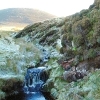
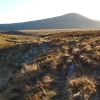
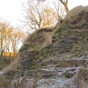
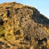
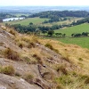
West Lothian's landscape has developed and been shaped over millions of years, by geological processes and by people. West Lothian's Local Geodiversity Sites have been selected to represent the variety of landscapes, landforms and rock features of the area.
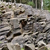
The bedrock of this area formed during the Carboniferous Period (299-359 million years ago) and comprises both sedimentary and igneous rocks. Igneous rocks are the result of volcanic activity and the underground intrusion of magma. They are resistant to erosion and tend to form hills and high ground. In contrast, most of the low-lying areas are underlain by sedimentary rocks, which include limestone, coal, sandstone, mudstone and oil shale.
For most of the last 300 million years, this area has been high ground, gradually being eroded by natural processes with rivers running eastwards towards the North Sea. During the Quaternary Ice Age of the last two million years, West Lothian has been covered by ice several times. These ice sheets have flowed from high ground to low ground, travelling west-east across the area, shaping the landscape and depositing glacial till, sand and gravel as they melted.
Many recent changes to the landscape have occurred from West Lothian's long history of mineral production. A wide range of materials have been produced, including coal, oil, limestone and building stone, and mining and related industries have had an impact on the county's character.
Further information about all aspects of West Lothian's geodiversity can be found from the West Lothian Geodiversity report (PDF, 596 KB)(opens new window) produced by the British Geological Survey in 2006.
Please note that some of the Local Geodiversity Sites are also designated as Sites of Special Scientific Interest (SSSI), or as Scheduled Monuments. It is an offence for anyone to intentionally or recklessly damage these protected natural features. On nationally protected sites, collecting is not allowed without the permission of NatureScot or West Lothian Council.
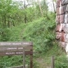
A geology leaflet bringing together a number of local geodiversity sites across the Bathgate Hills has been put together through the Lothian & Borders Geo-conservation Group that comprises expert geologists and other interested parties The Bathgate Hills Geotrail (PDF, 3 MB)(opens new window) Copies of this leaflet are also available from Beecraigs Country Park visitor reception.
For more information on specific sites, click on any of the Local Geodiversity Sites listed below or find the site from the map (opens new window).


